After a wildfire tore through the forest around Kakisa, N.W.T., in 2014, Lloyd Chicot began noticing changes in the lake: the pickerel grew fatter, and the pelicans moved in. Chicot, the chief of Ka'a'gee Tu First Nation, attributes the change partly to climate change and partly to runoff from the fire, which brought nutrients and debris into the lake. "Right after the fire, there was a lot of burnt driftwood and that kind of stuff," he recalled.
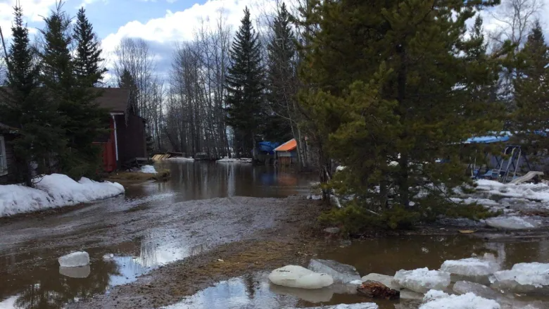
Sambaa K'e, N.W.T., drying out after flash flood Sunday
Water levels have receded in Sambaa K'e, N.W.T., after a flash flood Sunday swamped some homes and properties. Dennis Deneron said there are still some low-laying areas with high water levels in the community of about 90 residents, but the community can begin cleanup now. The flood happened when ice blocked the main channel of Island River, which flows into Trout Lake. Deneron said that forced the water through another channel close to the community and into some people's yards.


